Cascadia
AIRVŪZ STAFF NOTE :
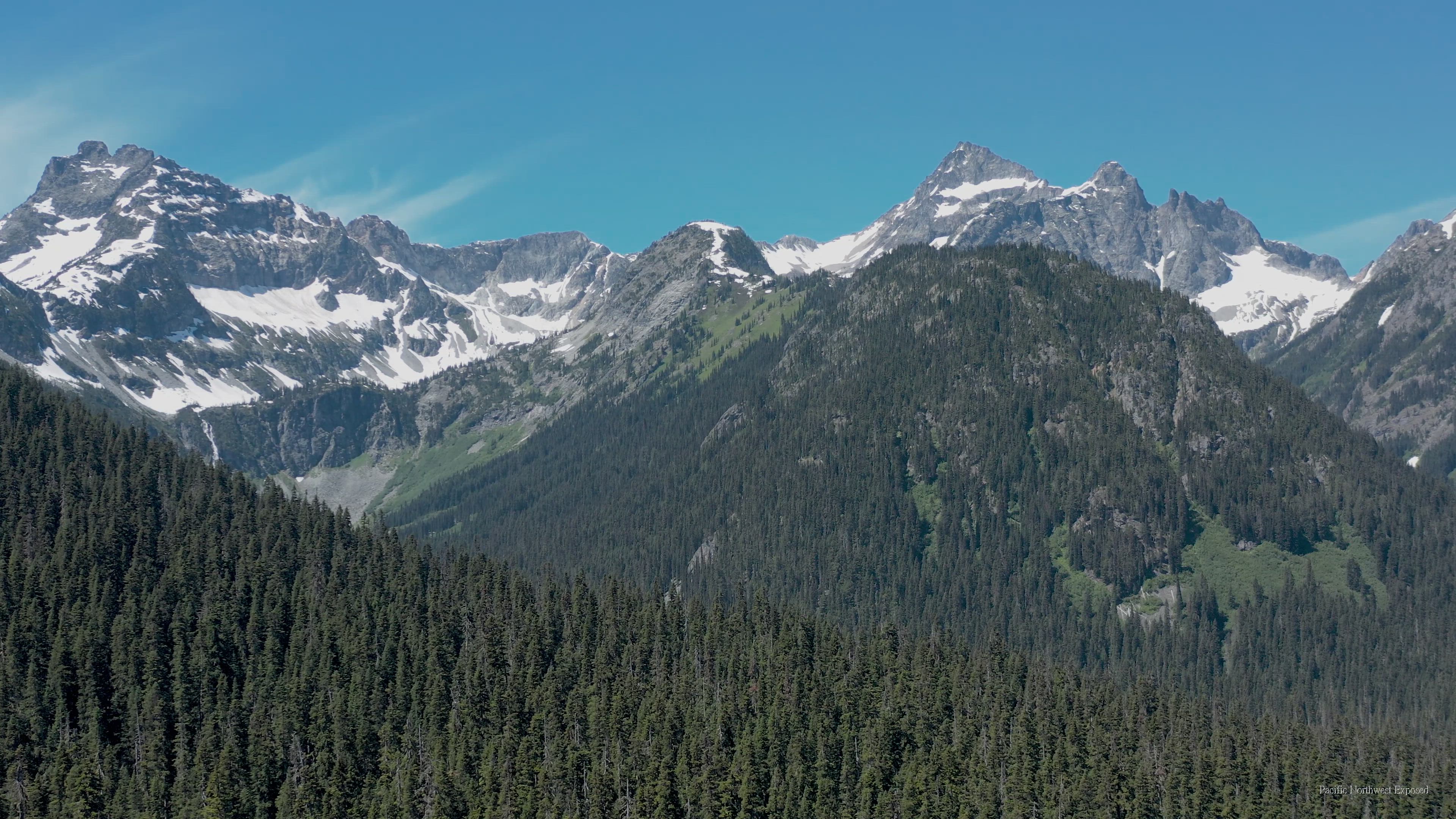
Top contributor PNEImagery brings us this stunning drone video from the Cascade Mountains in the USA's Pacific Northwest. The Cascade Range, which covers parts of Washington and Oregon as well as a relatively small amount of territory in the Canadian province of British Columbia, consists of both volcanic and non-volcanic mountains. Part of the Pacific Ocean's Ring of Fire, the highest peak in the Cascades is Mt. Rainier in Washington, which has a summit elevation of about 14.4k ft. above sea level or around 4.4k m.
- almost 4 years ago
- 1.3k VŪZ
8 


- 18
- Report
BADGES THIS VIDEO HAS EARNED:

I recently spent a little time in the Cascades and decided to put the quad up for a long overdue flight.
Up Next
Autoplay
Before the Rain

- PNEImagery
- 1.4k VŪZ
5 - 10
- over 2 years ago
On Eagle Wings-The Skokomish
- PNEImagery
- 1.1k VŪZ
10 - 12
- over 3 years ago
First Flight
- PNEImagery
- 1.1k VŪZ
4 - 8
- about 3 years ago
South Sound Sunrise
- PNEImagery
- 1.1k VŪZ
13 - 18
- almost 7 years ago
Snow Daze
- PNEImagery
- 1.6k VŪZ
1 - 3
- over 3 years ago
Rising
- PNEImagery
- 1.5k VŪZ
5 - 8
- over 3 years ago
"I'm Melting" - Just Before the Rain
- PNEImagery
- 975 VŪZ
7 - 10
- over 3 years ago
Pause For Reflection
- PNEImagery
- 1.1k VŪZ
16 - 24
- about 6 years ago
Entrance
- PNEImagery
- 530 VŪZ
2 - 1
- over 3 years ago
Lynch Creek Dahlia Farm
- PNEImagery
- 924 VŪZ
5 - 5
- over 3 years ago