Navajo Bridge
AIRVŪZ STAFF NOTE :
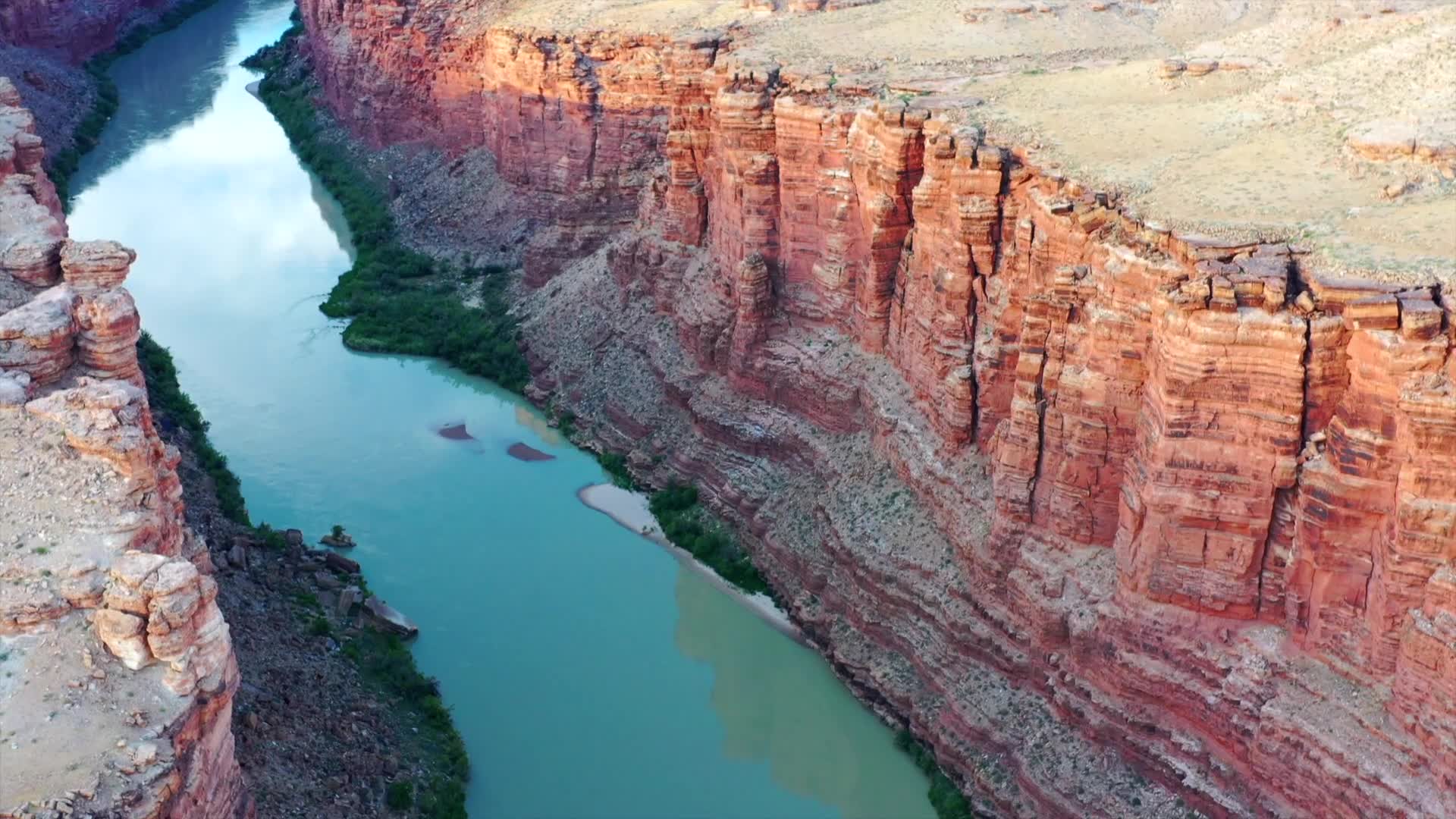
Get an aerial view of one of America's tallest bridges, compliments of contributor and pilot Luiz Gerbase. The Navajo Bridge in the Southwestern USA state of Arizona is actually two separate spans over the Colorado River. The original bridge opened in 1929 and is 250 meters long (834 ft.). The second span, which is 23 meters (75 ft.) longer, opened in 1995 and now handles all vehicular traffic. With a height of about 142 meters (around 470 ft.), both rank amongst the country's ten tallest bridges.
- over 6 years ago
- 372 VŪZ
11 


- 7
- Report
BADGES THIS VIDEO HAS EARNED:

Navajo Bridge is a pair of steel spandrel arch bridges that cross the Colorado River near Lee's Ferry in northern Arizona. The newer bridge of the pair carries vehicular traffic on U.S. Route 89A (US 89A) over Marble Canyon between southern Utah and the Arizona Strip, allowing travel into a remote region north of the Colorado River including the North Rim of Grand Canyon National Park.
Up Next
Flying Inside Itaembezinho

- Luiz Gerbase
- 1.1k VŪZ
8 - 6
- over 2 years ago
La Mano
- Luiz Gerbase
- 1.2k VŪZ
13 - 8
- over 9 years ago
Laguna Nimez - El Calafate - Patagonia
- Luiz Gerbase
- 1.3k VŪZ
17 - 15
- almost 7 years ago
Red and White Hill
- Luiz Gerbase
- 590 VŪZ
6 - 10
- almost 3 years ago
Tsé Bitʼaʼí

- tglass0000
- 1.9k VŪZ
18 - 12
- almost 7 years ago
Caracol Waterfall
- Luiz Gerbase
- 2.5k VŪZ
37 - 19
- over 9 years ago
Mamanguá Fiord
- Luiz Gerbase
- 713 VŪZ
9 - 12
- almost 6 years ago
Passo do S
- Luiz Gerbase
- 1.4k VŪZ
18 - 14
- almost 9 years ago
Releasing a Lagoon
- Luiz Gerbase
- 1.2k VŪZ
12 - 11
- almost 7 years ago
Saco do Céu
- Luiz Gerbase
- 652 VŪZ
4 - 2
- over 2 years ago