Netherlands from above
AIRVŪZ STAFF NOTE :
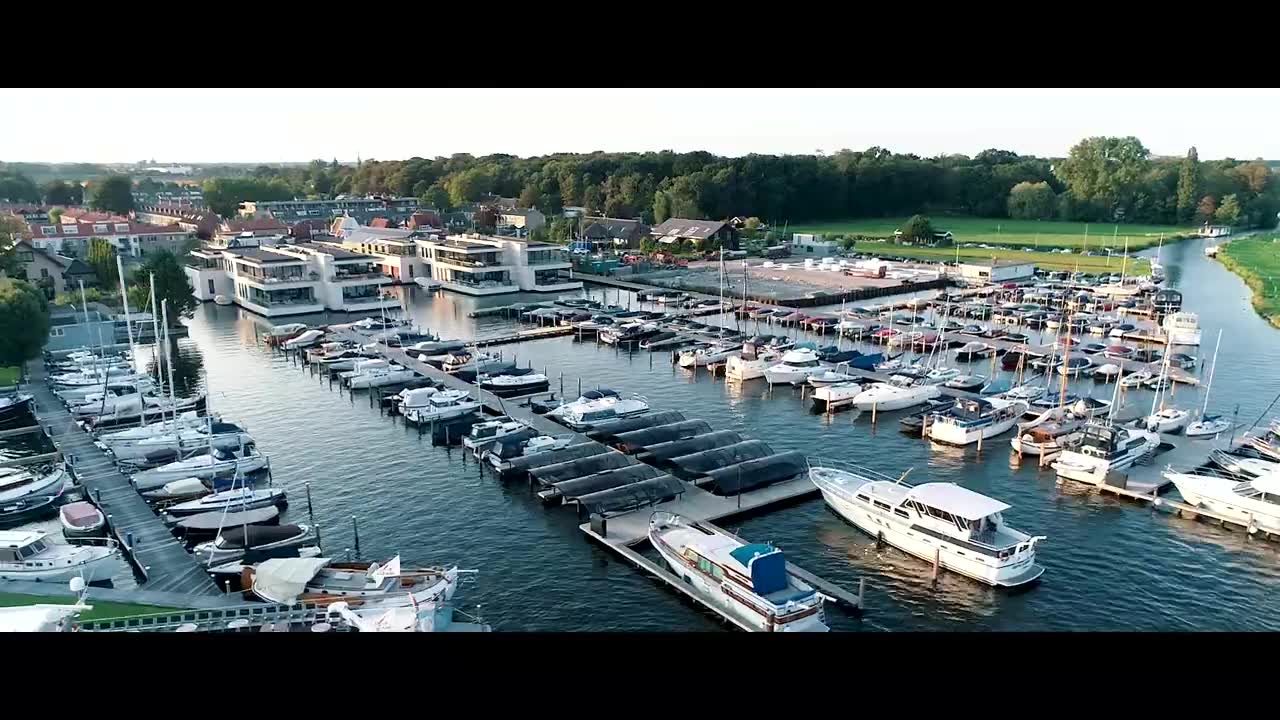
Take an aerial tour of the Netherlands in this fantastic drone video by contributor and drone pilot OCdrone. The video beautifully captures some of the landscapes and seascapes of this country on the great North European Plain. It includes bird's eye views of the Dutch countryside, its North Sea coastline, and its extensive dykes and other feats of hydro-engineering. It also includes some great aerial shots of some fabled Dutch windmills as well as some of the country's quaint medieval towns.
- about 7 years ago
- 3.5k VŪZ
21 


- 17
- Report
BADGES THIS VIDEO HAS EARNED:

Drone video from Netherlands. All shots were captured on Phantom 4 Pro Plus in the late summer of 2018. The Netherlands is a country located mainly in Northwestern Europe. Together with three island territories in the Caribbean (Bonaire, Sint Eustatius and Saba), it forms a constituent country of the Kingdom of the Netherlands. Netherlands' literally means 'lower countries', referring to its low land and flat geography, with only about 50% of its land exceeding 1 metre (3 ft 3 in) above sea level. Most of the areas below sea level are the result of land reclamation beginning in the 16th century, resulting in large areas known as polders that amount to nearly 17% of the country's territory.
Up Next
Veveri castle

- OCdrone
- 1.6k VŪZ
20 - 12
- about 7 years ago
Amazing tulip fields in The Netherlands

- The Netherlands fr...
- 5.3k VŪZ
32 - 25
- about 9 years ago
The Gorgeous Fishing Village Urk, The Netherlands
- The Netherlands fr...
- 3.7k VŪZ
23 - 9
- about 9 years ago
AMAZING footage of Harbour Scheveningen The Netherlands
- DJ van Daal
- 2.1k VŪZ
29 - 23
- about 9 years ago
bonaire

- drones inspire cur...
- 1.5k VŪZ
22 - 17
- about 9 years ago
Tulip fields Netherlands

- silvano1988
- 2.5k VŪZ
27 - 23
- about 8 years ago
The Beautiful city of Hindeloopen
- The Netherlands fr...
- 615 VŪZ
13 - 9
- almost 9 years ago
The Best of the Netherlands from Above

- AirVūz Social
- 614 VŪZ
11 - 7
- over 3 years ago
See Zutphen from Above
- Tonny Nagtegaal
- 1.0k VŪZ
10 - 9
- over 6 years ago
Above the clouds

- BeemFlights
- 714 VŪZ
12 - 11
- over 5 years ago